Going North, eh?
My Nana was born in North Sydney, Nova Scotia in 1920. She passed away in Lethbridge, Alberta in April 2015.
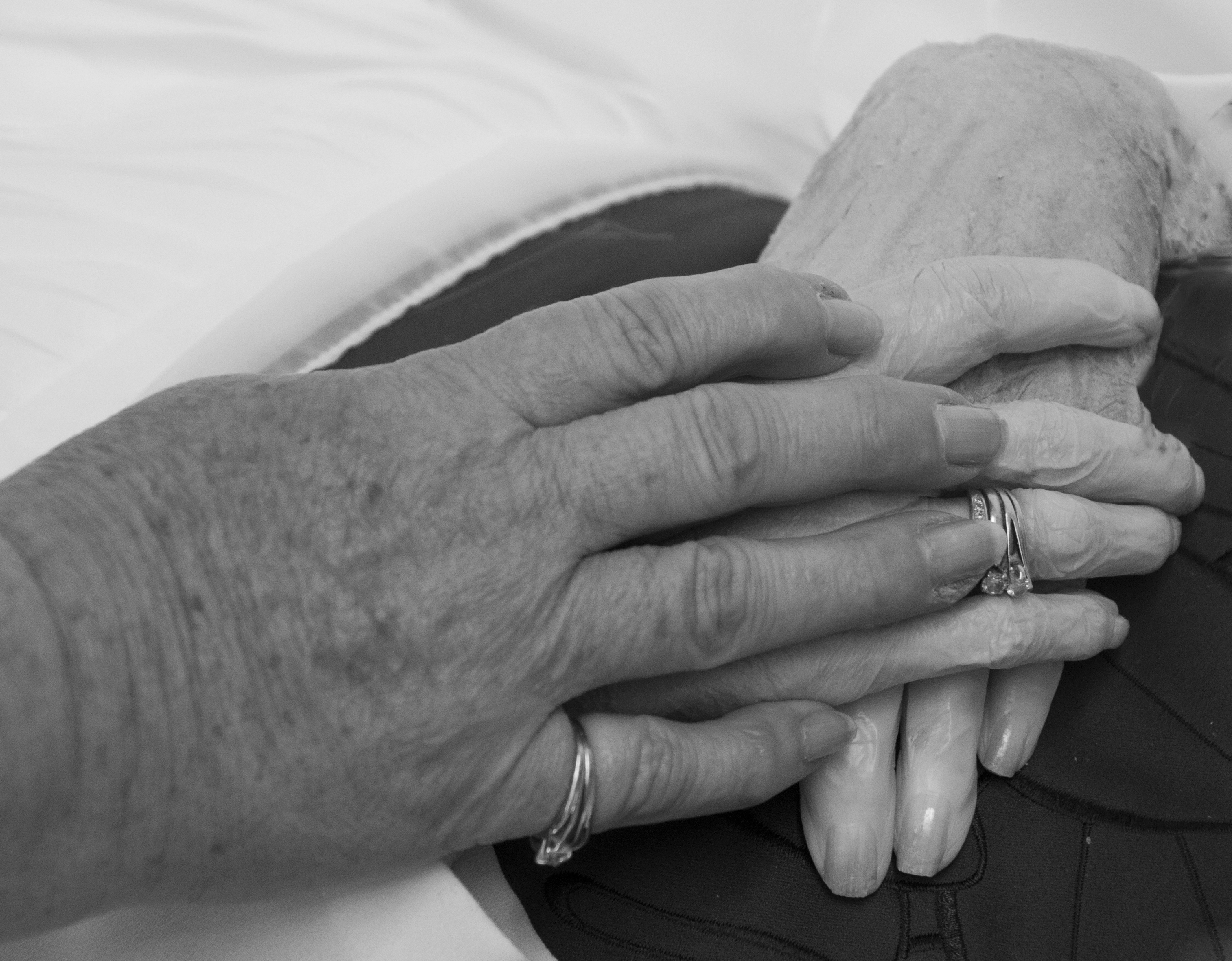
I was fortunate to travel to Canada for her funeral. It had been a few years since I last saw her. I’m grateful that was able to bid her farewell and re-live some memories with my parents and sisters. It was a whirlwind 4-day, 2000-mile road trip and it was absolutely wonderful.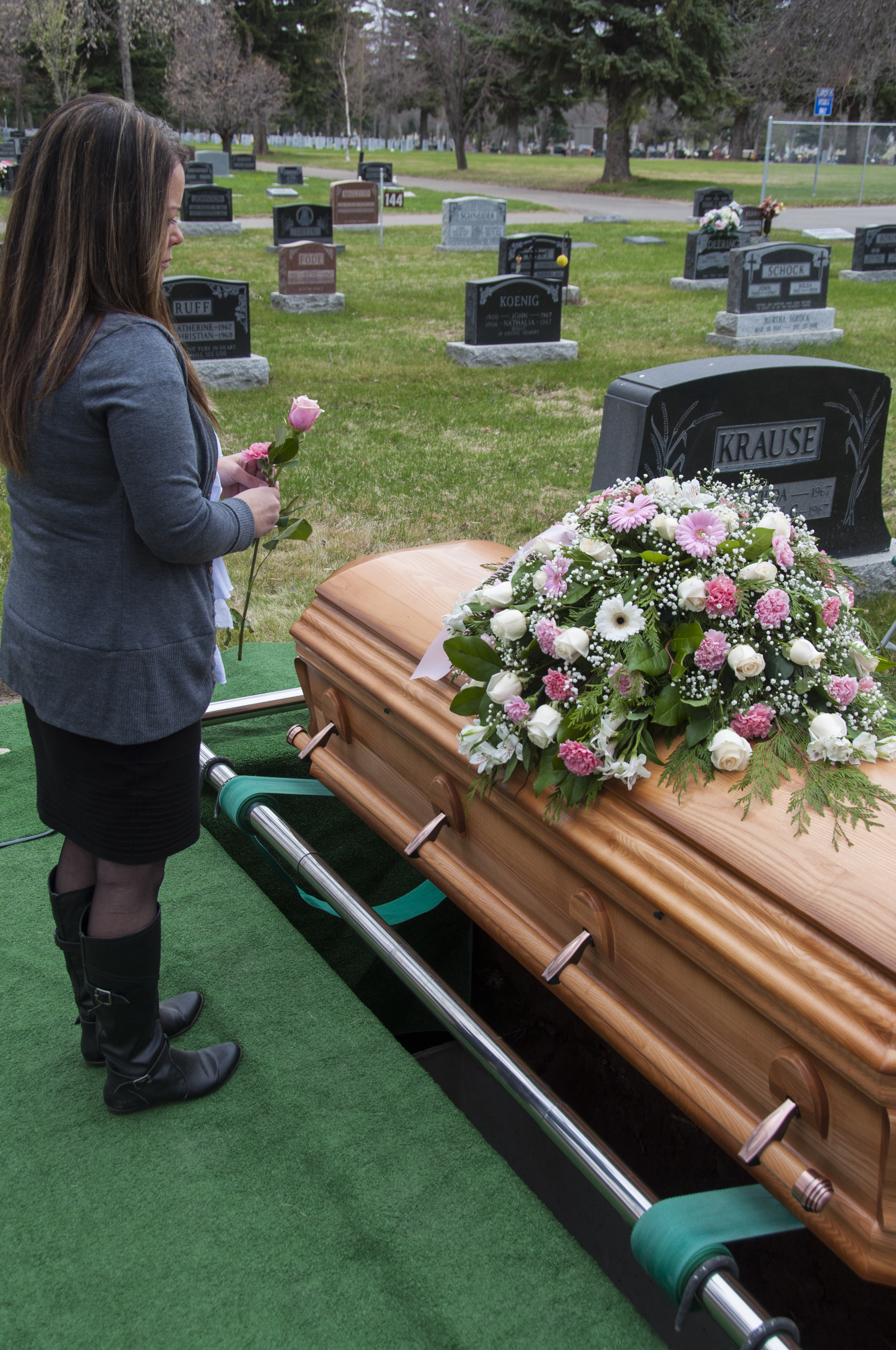
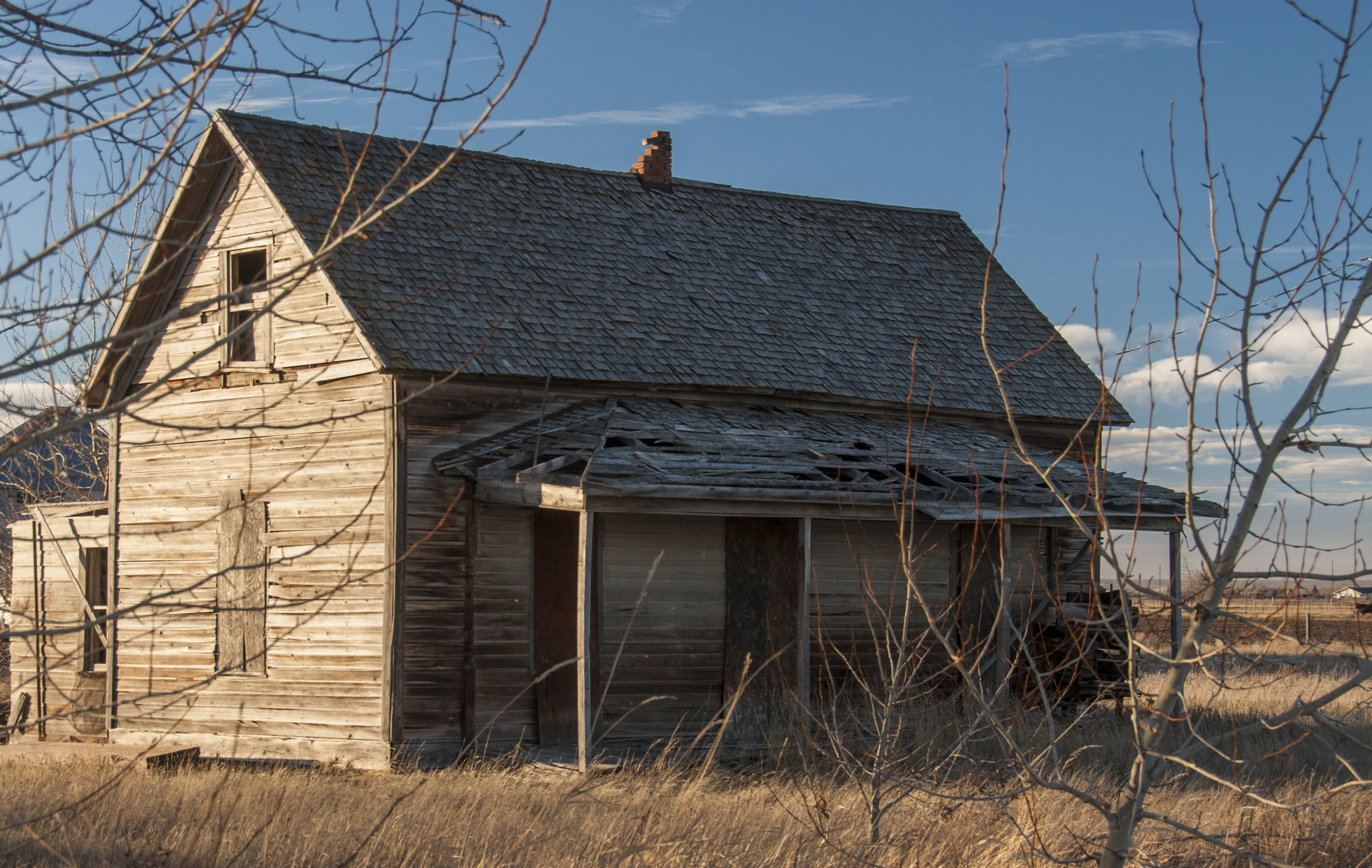
My sisters and I undertook a little project while we traveled throughout the areas where our Mom grew up. We knew that with the passing of her mother, there would be little or no reason for her to return to these places again. We wanted her to have a pleasant memory of the places she recalls so fondly. I sought out to photograph some of the key places; her childhood home, elementary school, high school and other places she frequented while growing up in Southern Alberta. When we returned, some of the photos were compiled into a collage, printed on canvas and given to our Mom as a Mother’s Day present. She cried. I think that means she liked it.
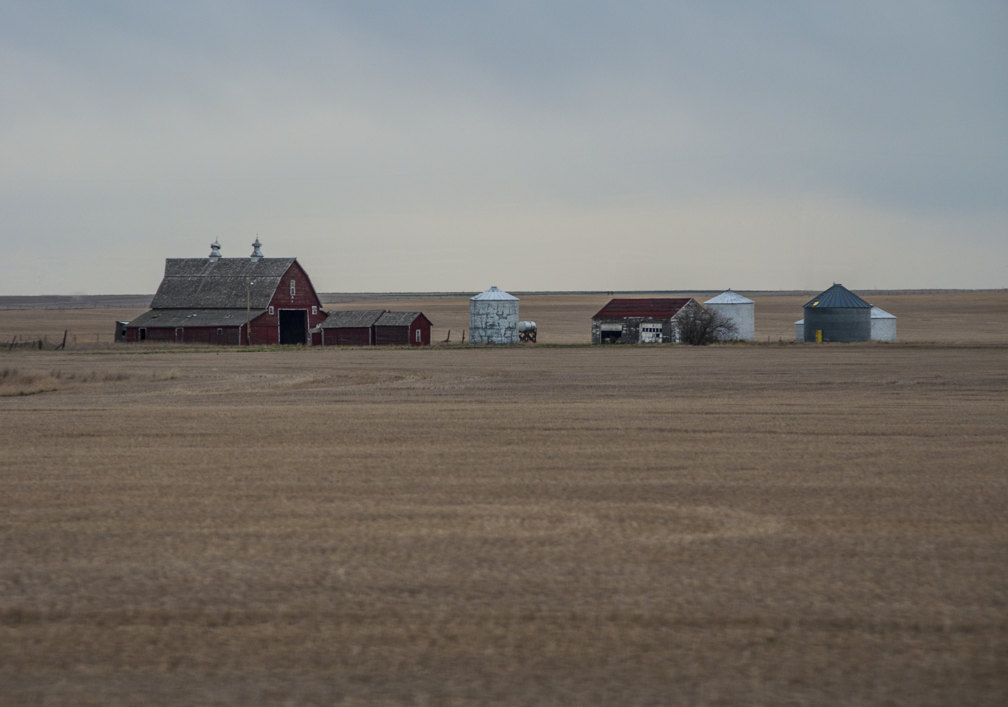
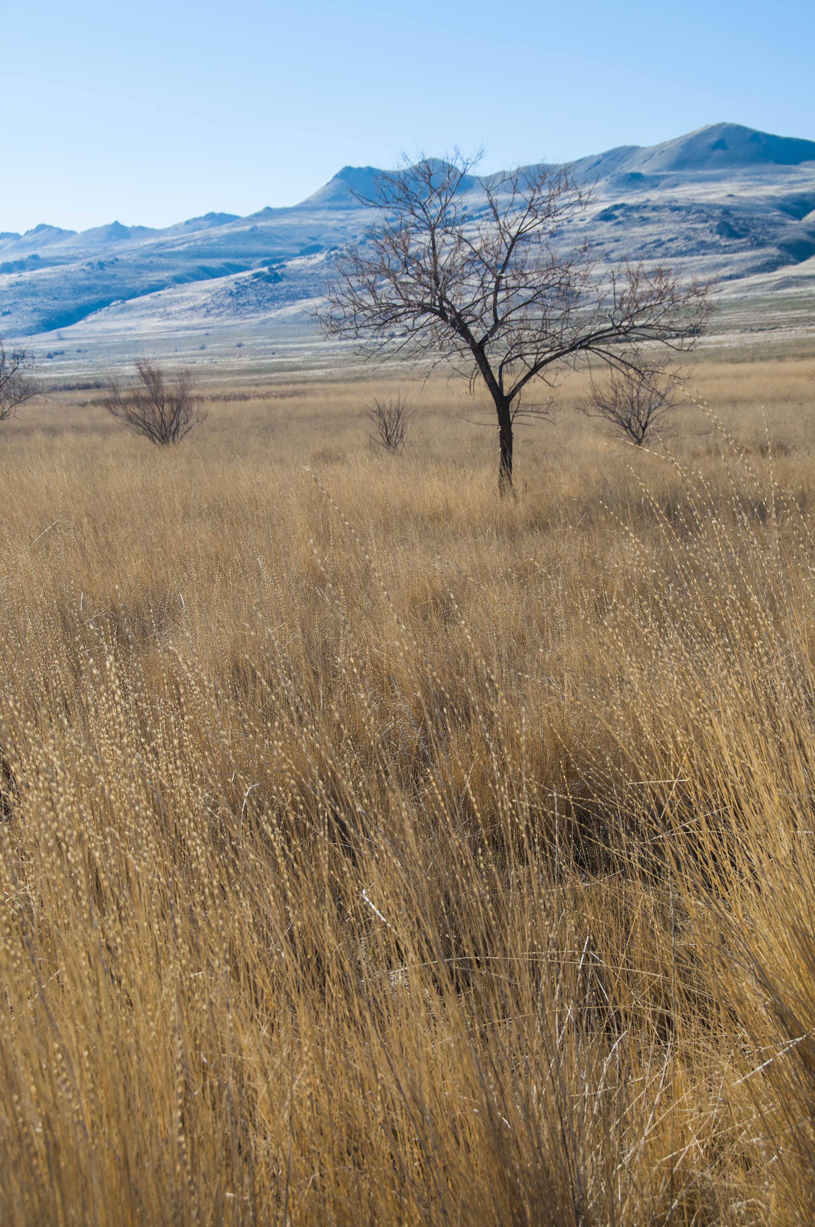
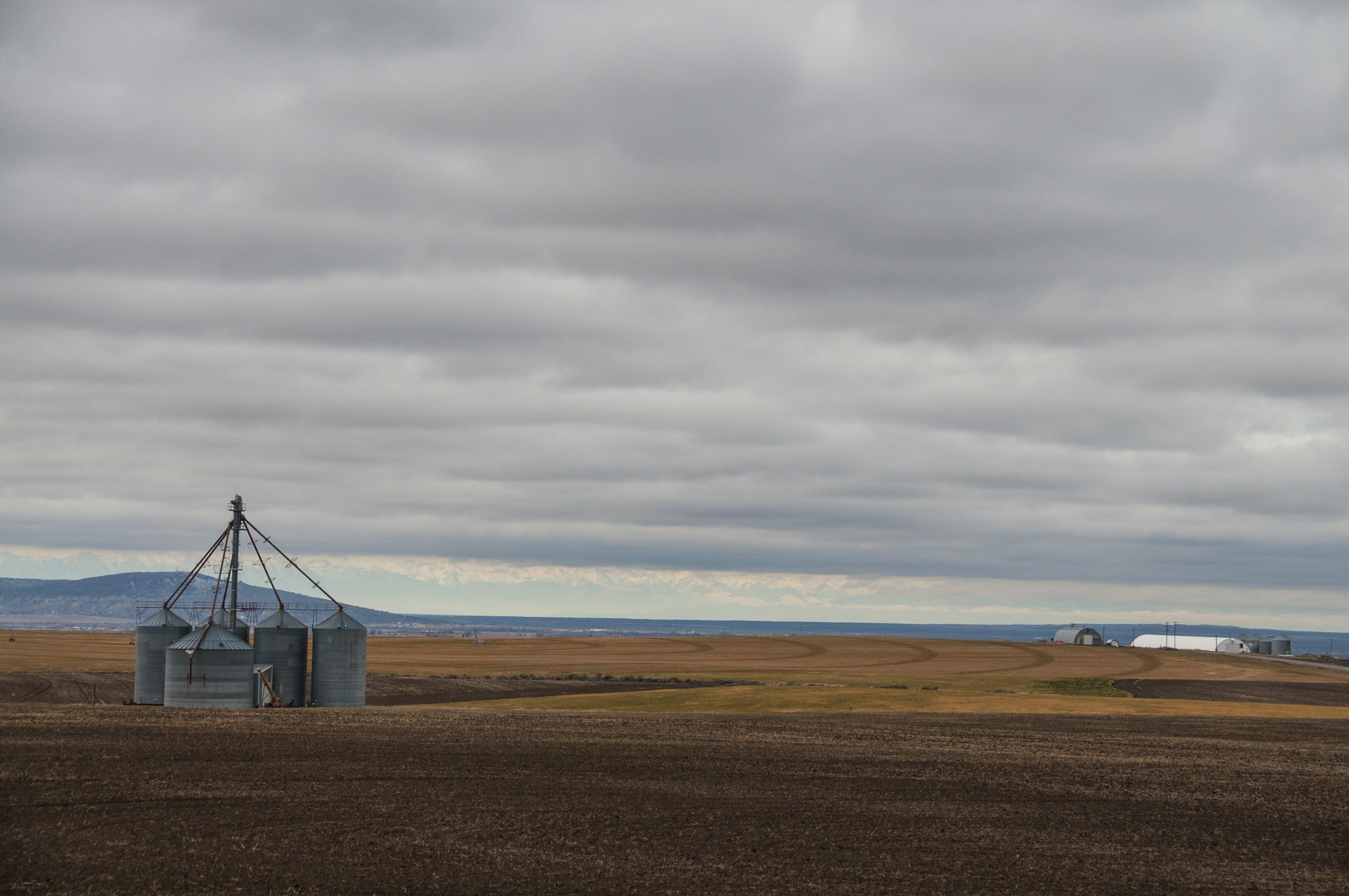
This is Southern Alberta: flat with fields of grain as far as the eye can see.

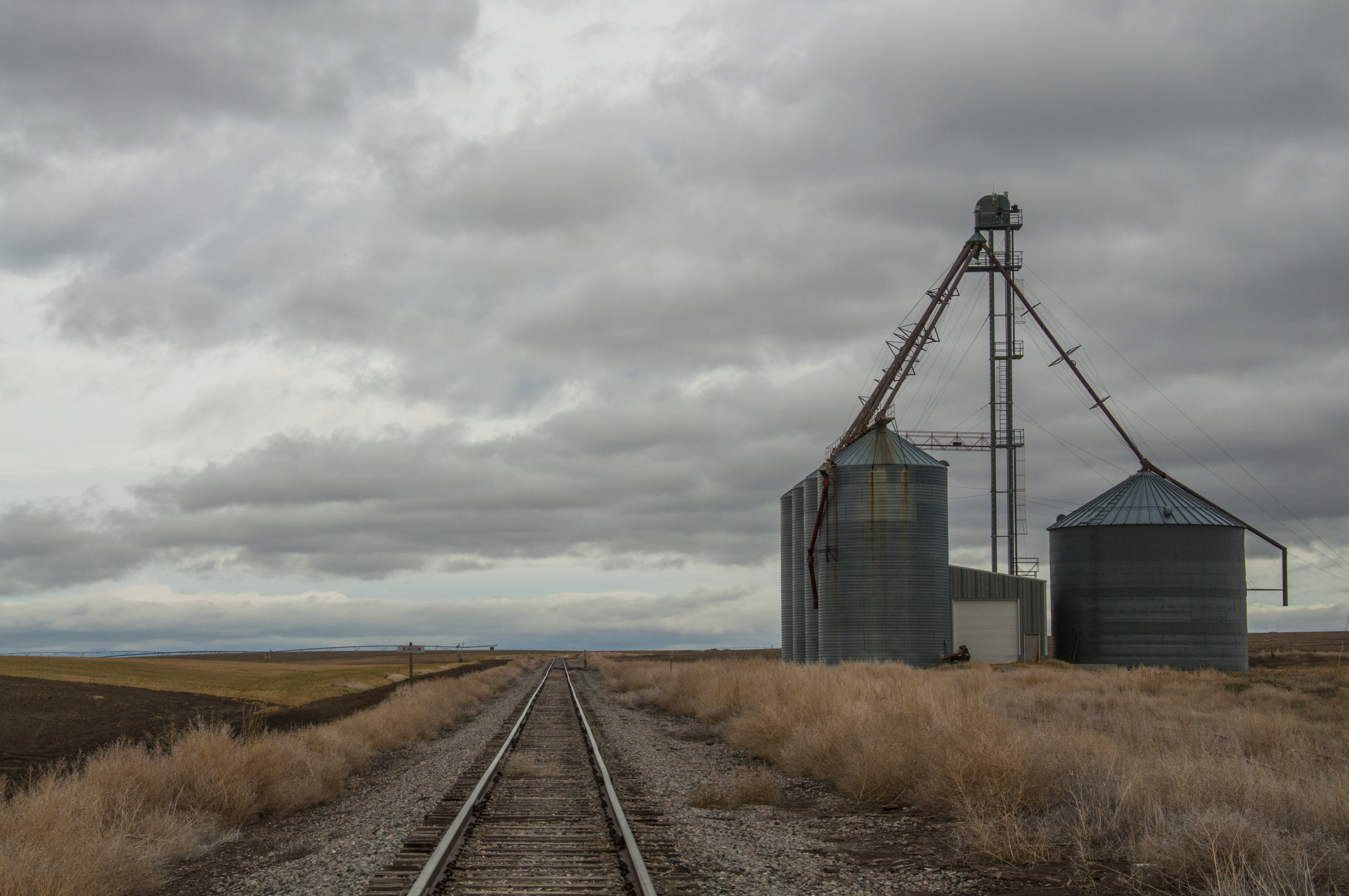
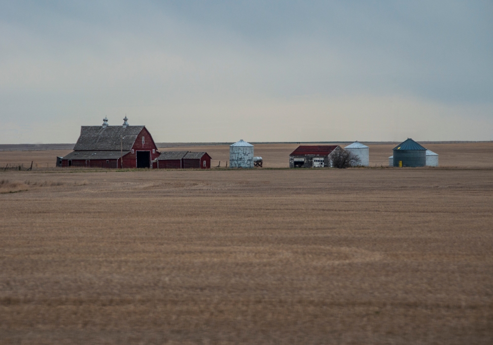
The old, brick grain elevators have long been the dominant building of most towns in Southern Alberta. In the flat, somewhat featureless plains the towering structures are often the only way to find your bearings. Sadly they are rapidly being replaced by concrete cylinders that lack the character and personality of their older cousins. When I think of places like McGrath, Medicine Hat, Milk River and Warner I think of proudly painted grain elevators.
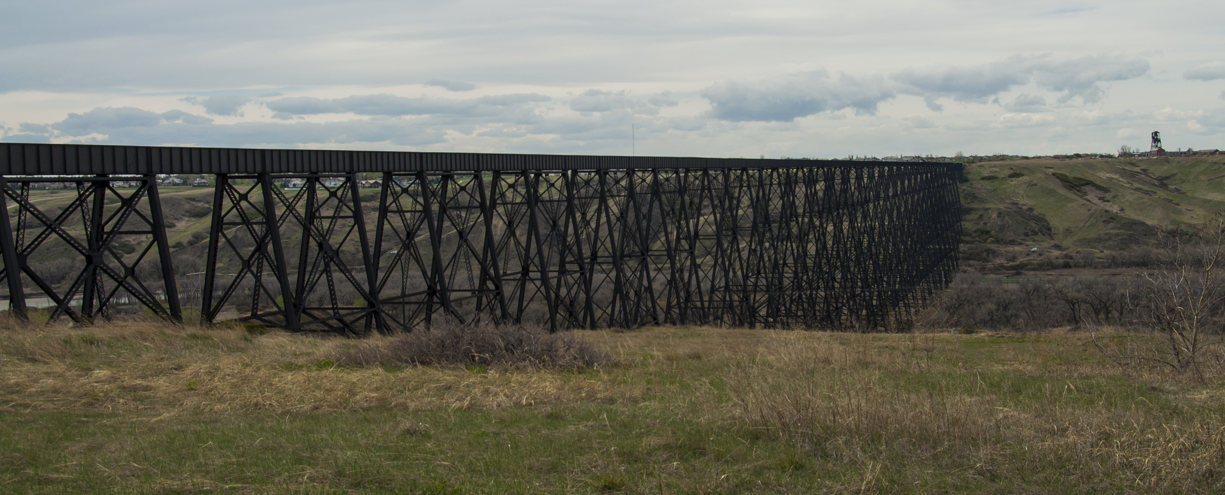
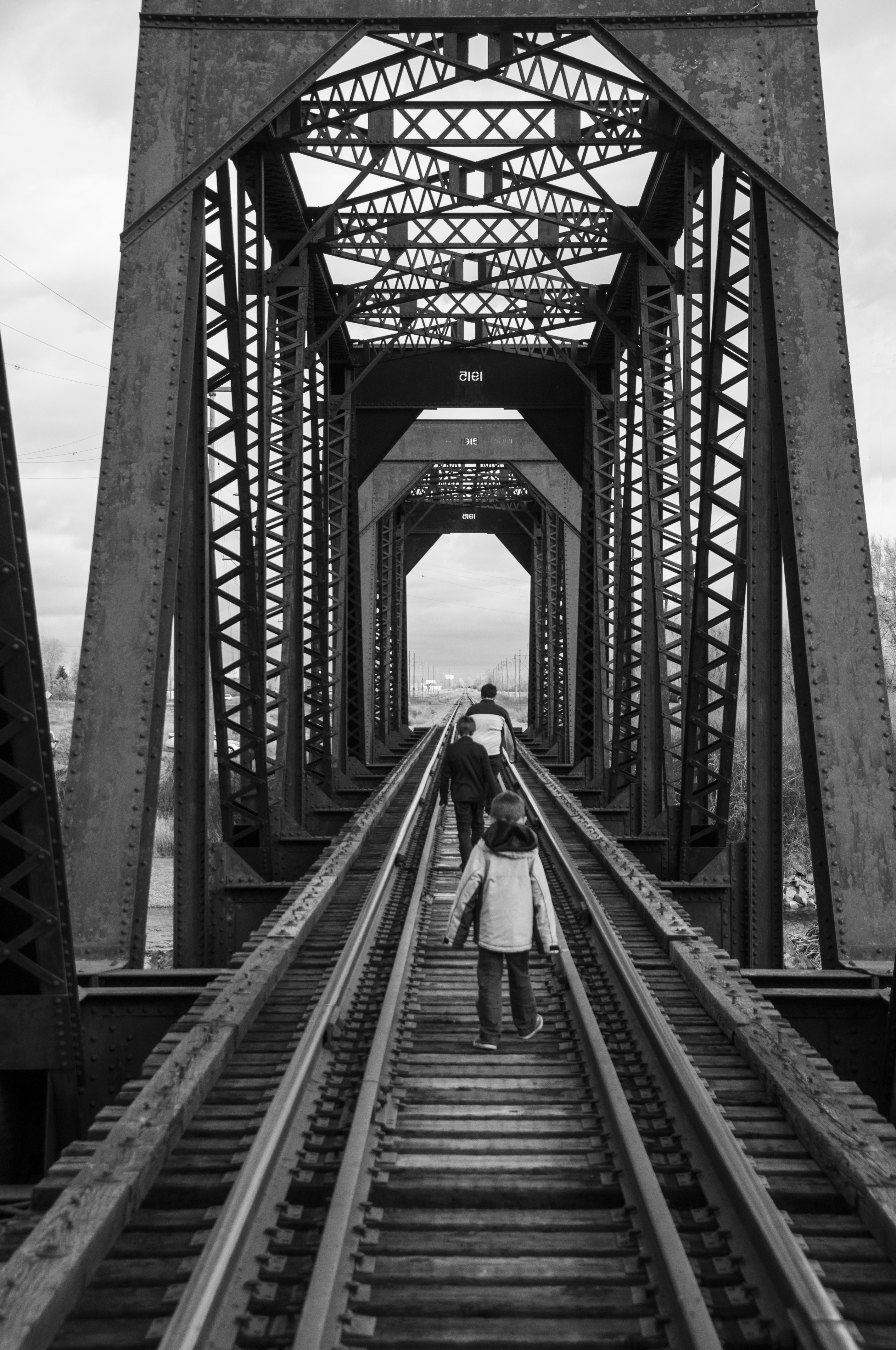
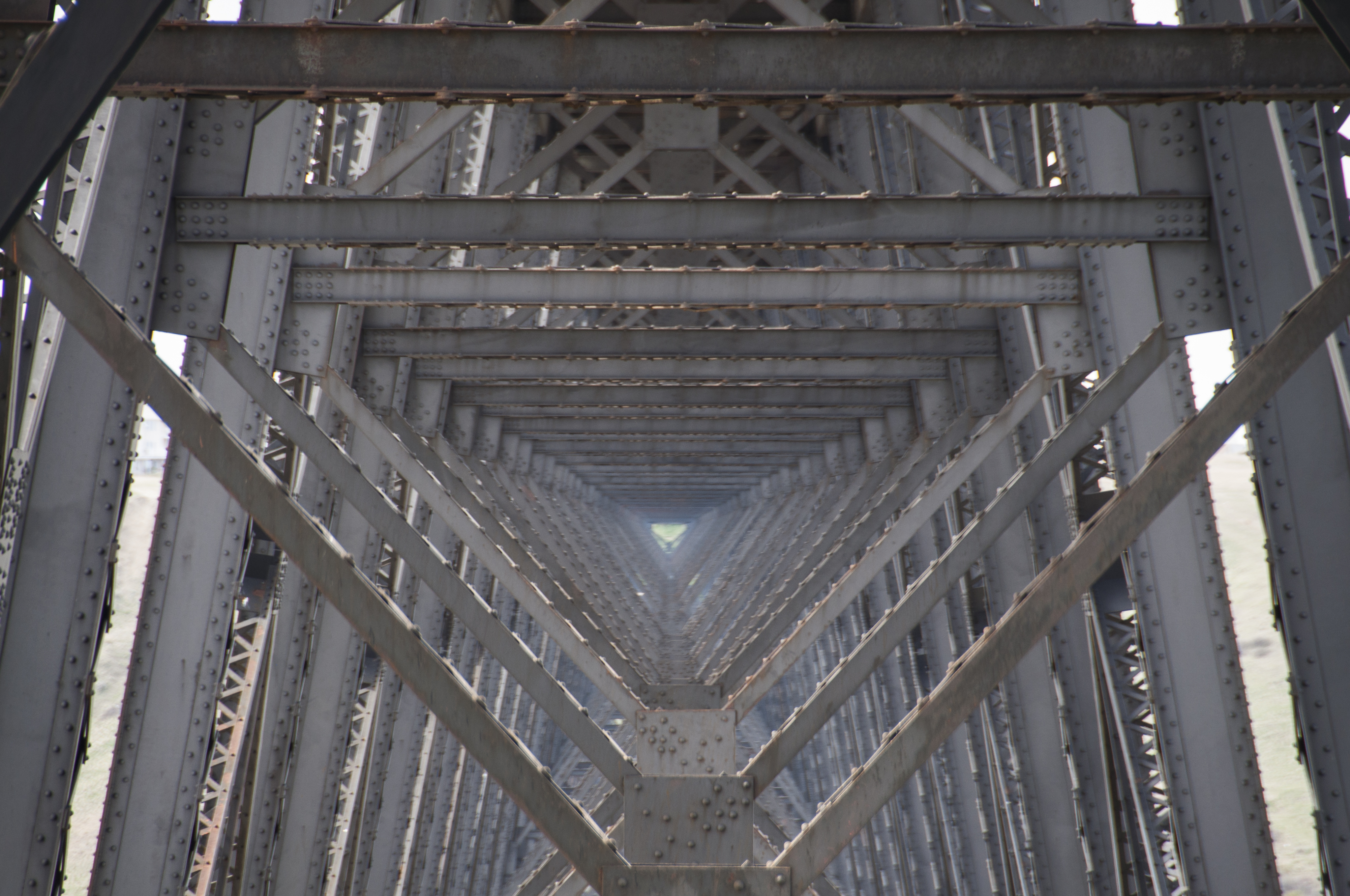
The High Level Bridge in Lethbridge, Alberta was completed in 1909. It is the largest railroad structure in Canada and the largest bridge of its type in the world.
I’m a sucker for railroads and bridges – especially old ones. They make marvelous photographs. Put them together and it is hours of photographic adventure. I only had about 30 minutes with this beauty, but it afforded me some nice captures.
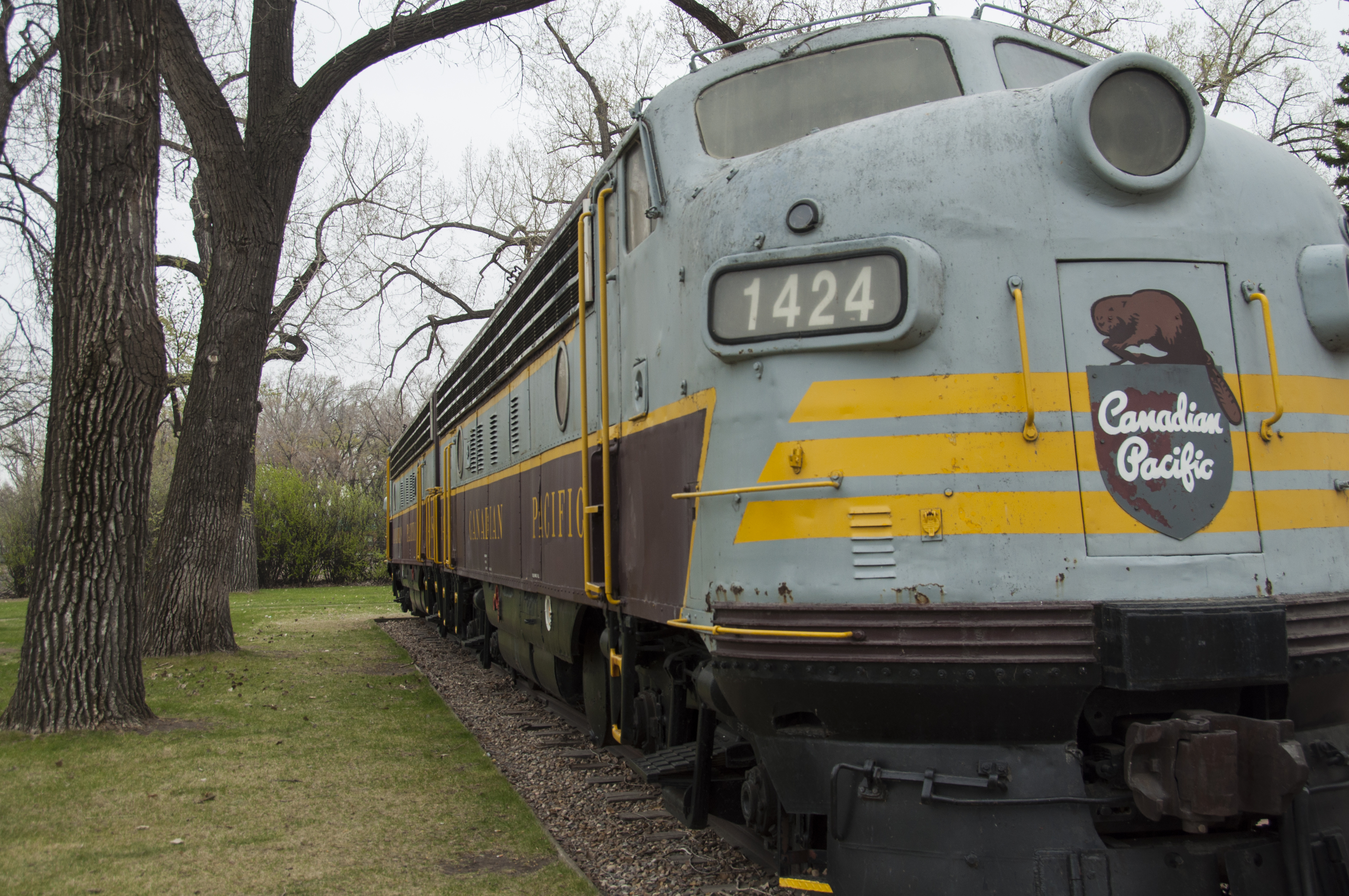
My grandfather and his father both worked for the Canadian Pacific Railroad. My grandfather was a freight train conductor. Maybe that explains my life-long fascination with trains and railroads.
Steel bridges built before the late 1930s were constructed using rivets instead of welding. I imagine the welded method creates stronger bridges, but the repeating patterns of the rivet heads add a lot of charm and character to the straight, angular lines of the steel beams.

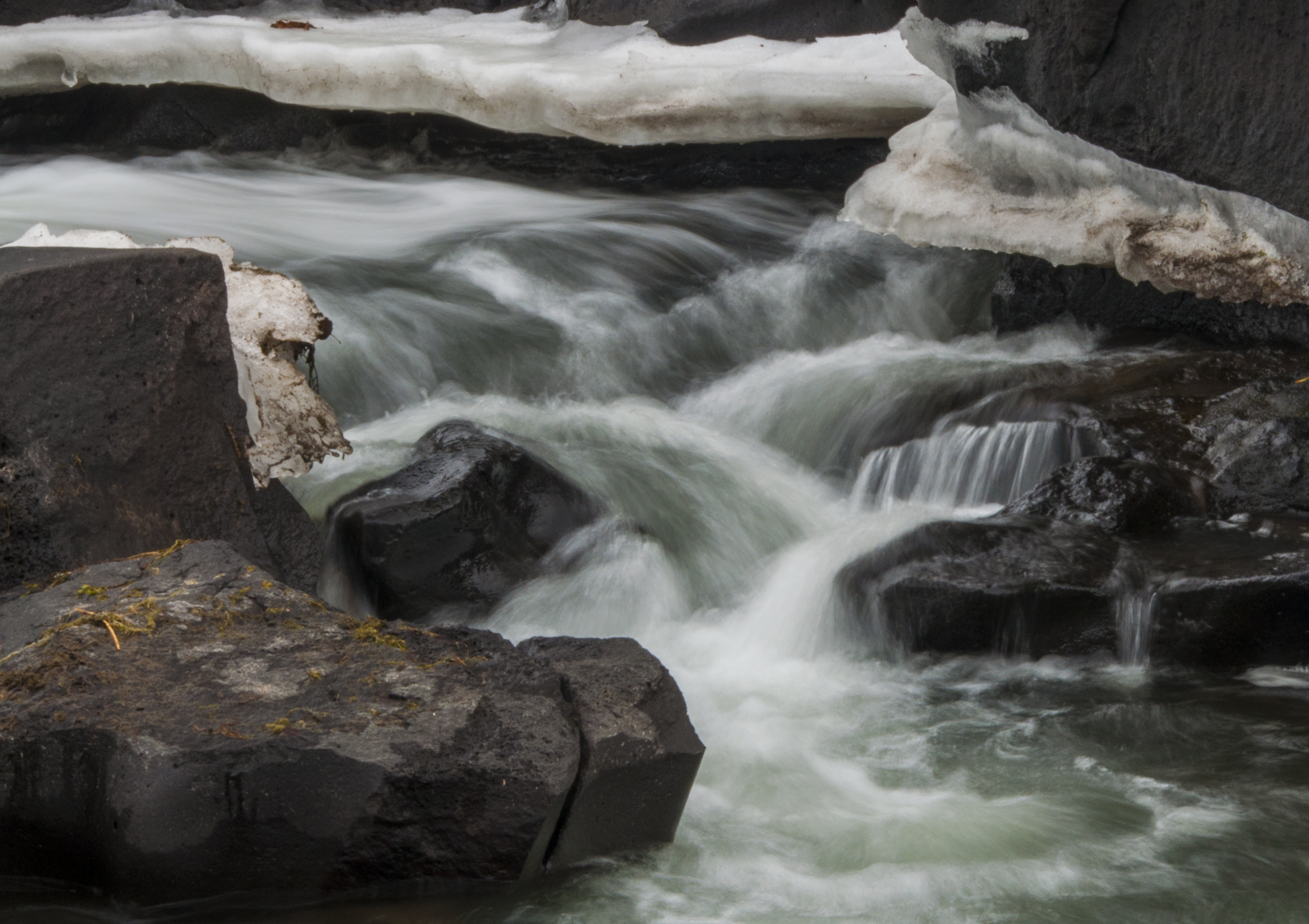
The Finlay Bridge spans the South Saskatchewan River in Medicine Hat, Alberta.
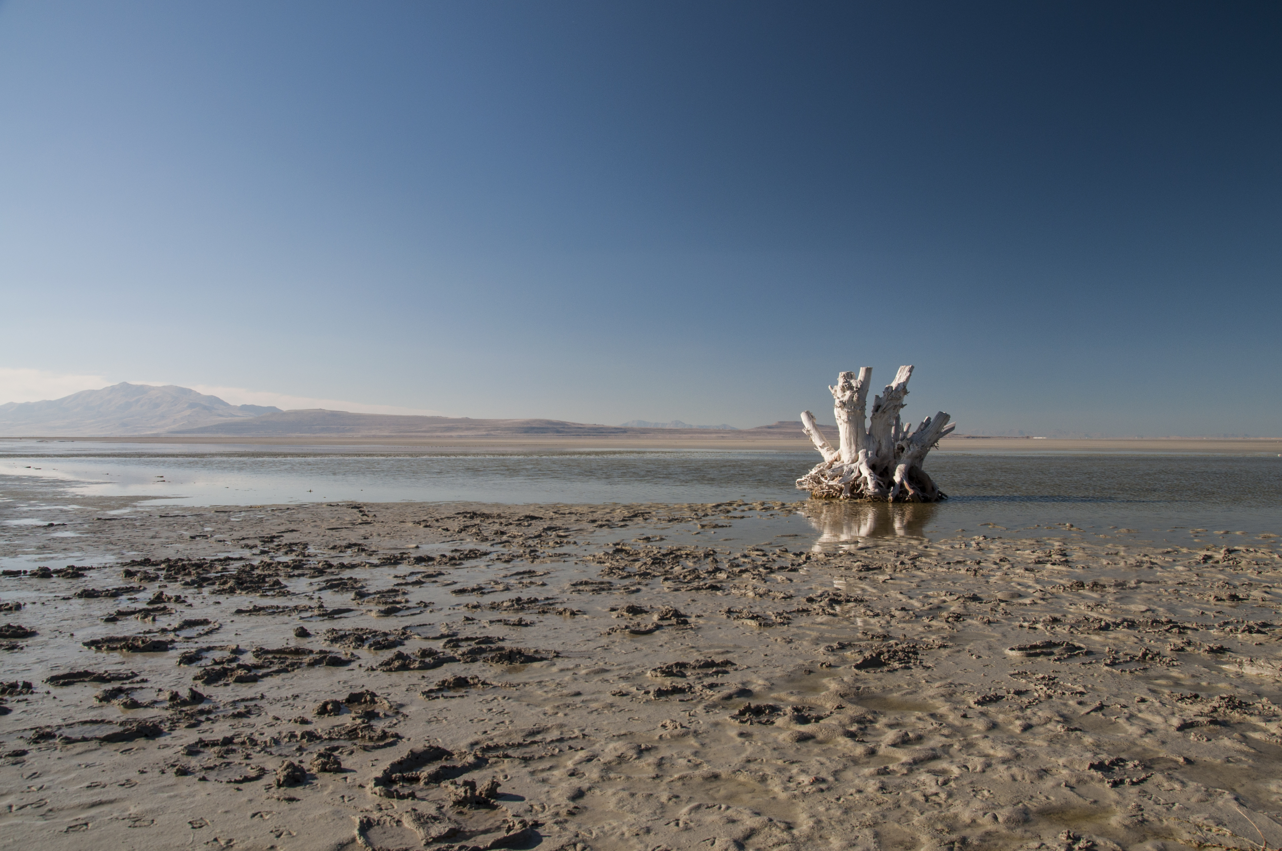
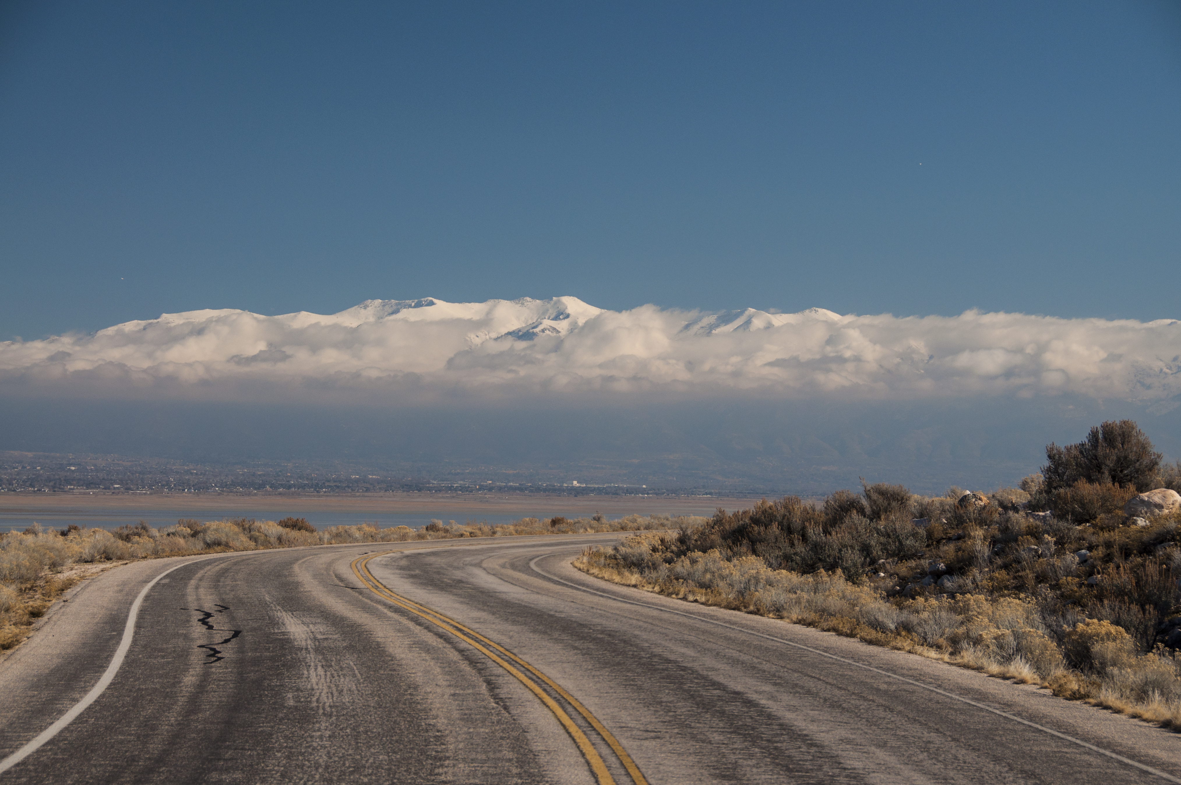
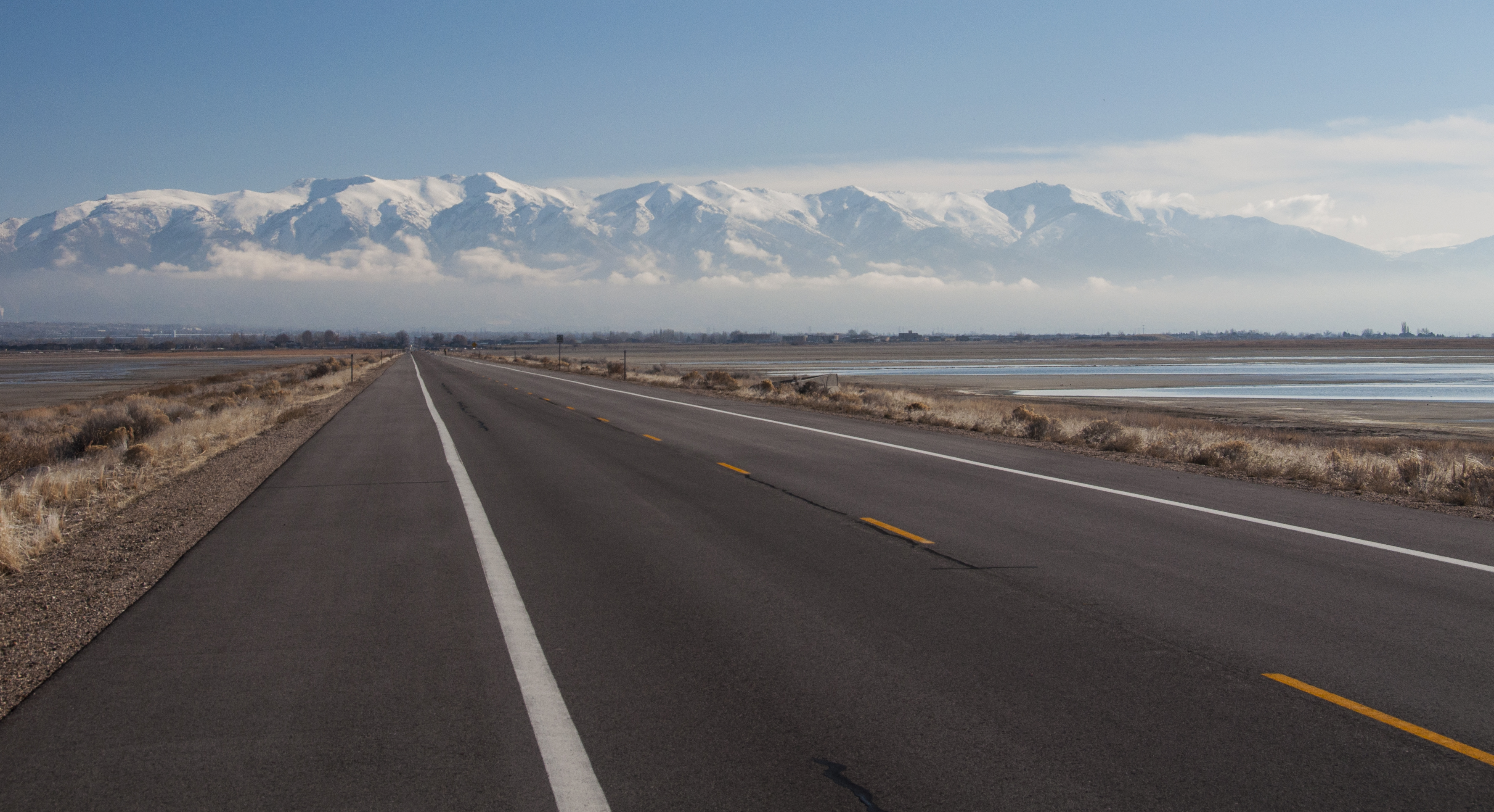
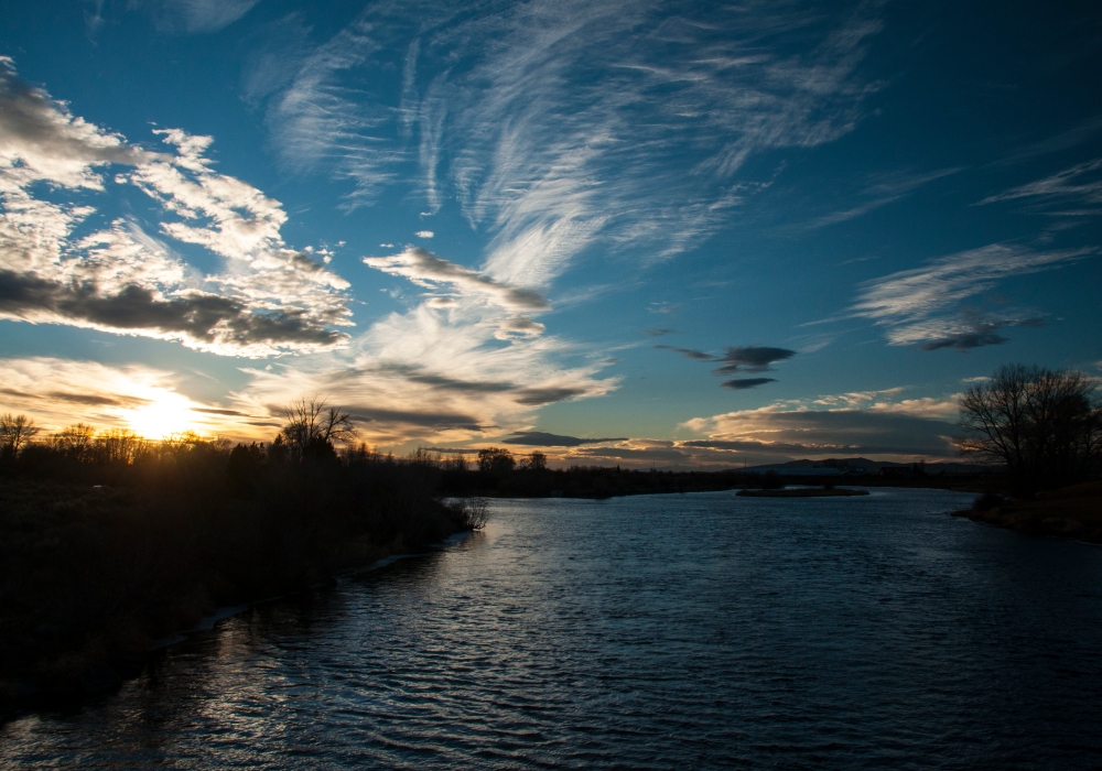
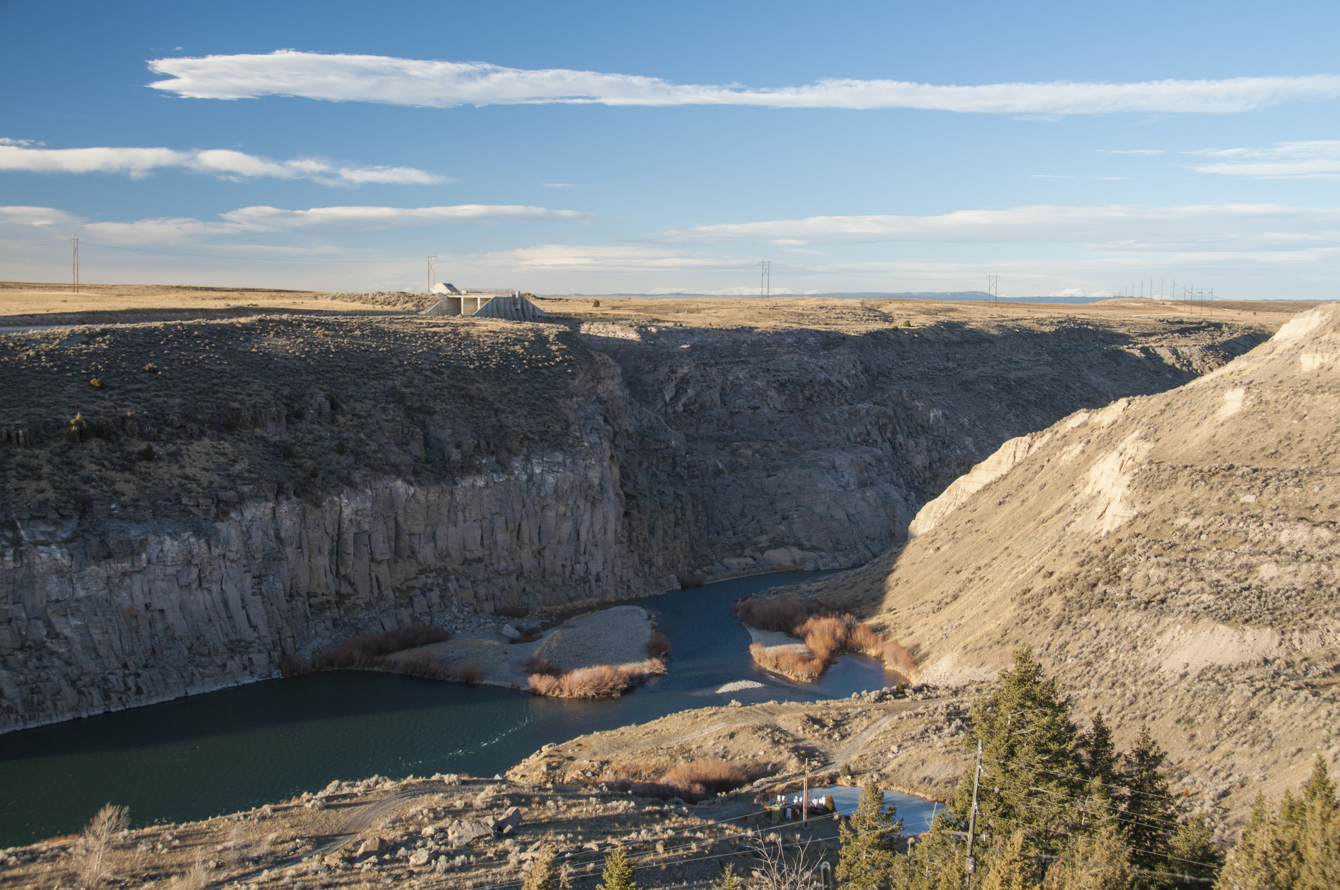
The thing about Southern Alberta is that its incredibly flat. With the exception of the occasional river bottom or coulee the horizons seem to go forever. I’ve heard many people say its boring. For me, who grew up in the foothills of the Wasatch Mountains and have spent most of my life in the mountains the flat prairie lands were fascinating. The feel of unrestricted space was somewhat intoxicating.
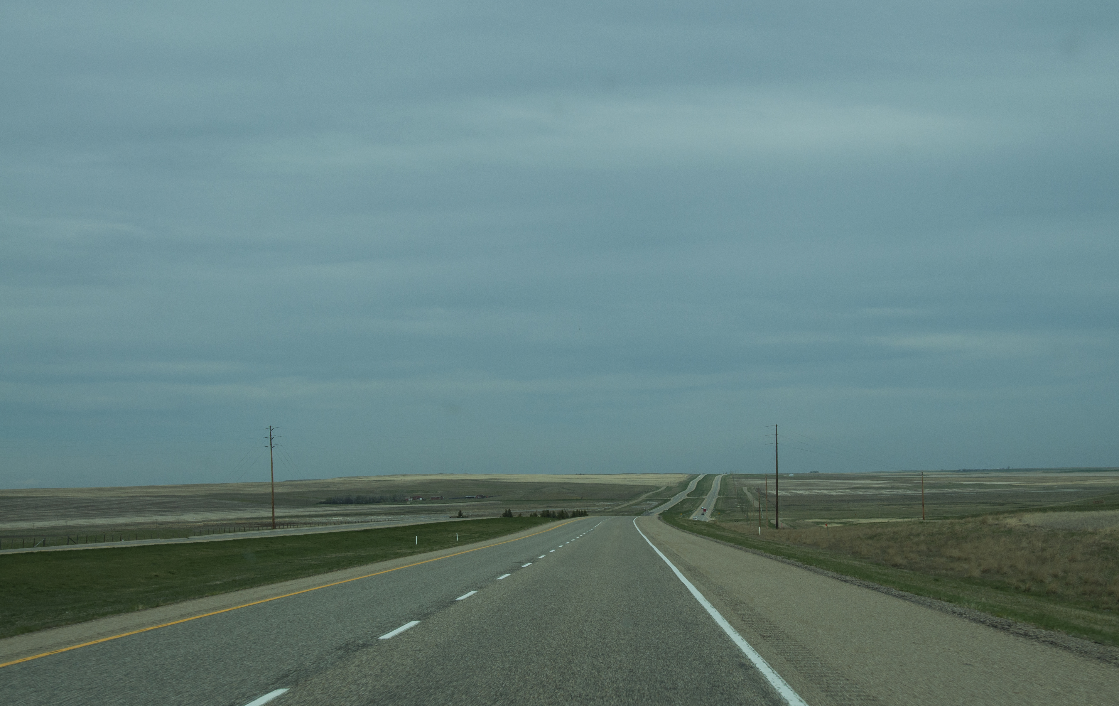
Highway 4, south of Lethbridge, AB
For the first time I can remember I was grateful for utility poles in my photos. I needed something to break the horizon.
In the end, the purpose for the trip was melancholy, but the outcomes were delightfully memorable.